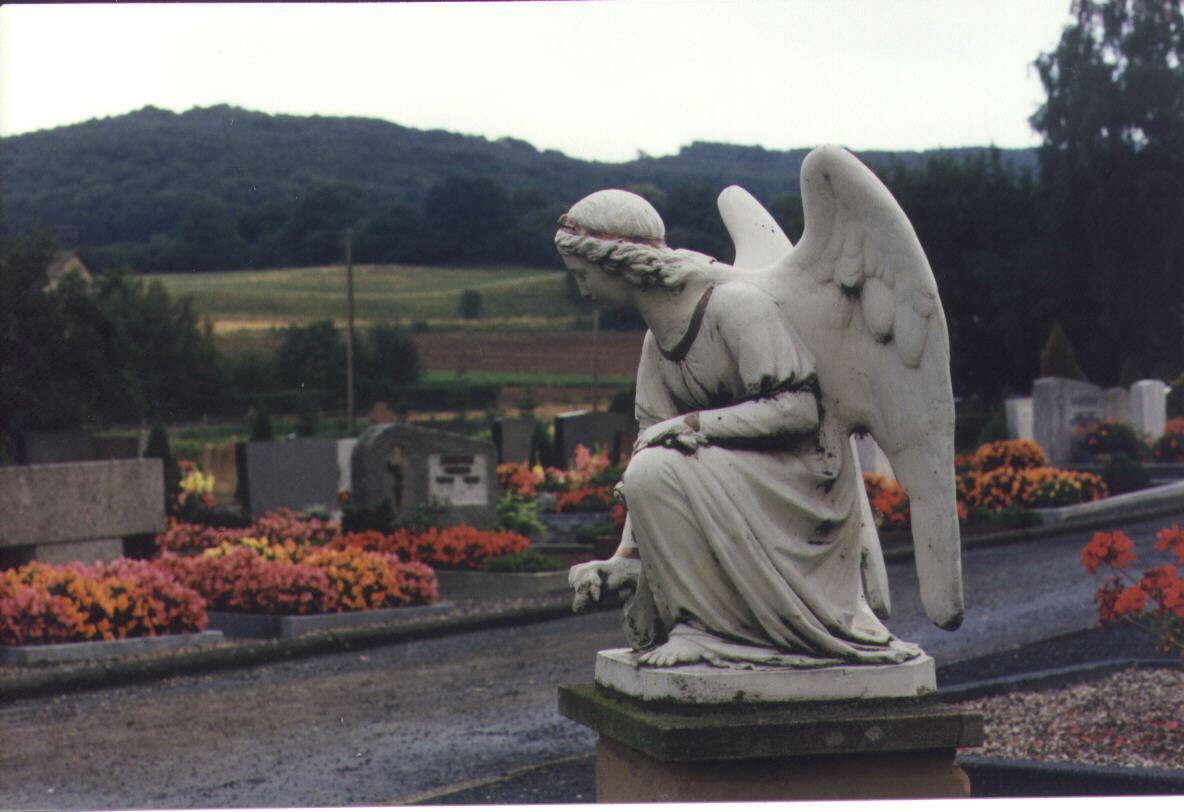
Harle presented by a group of young people
from the village.
(That site is still under construction, but definitely worth a visit!)
See where Harle is located
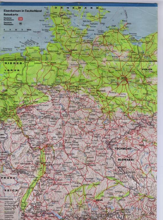
A map of Germany. Harle (not shown on the map)
is about 30km (20mi) south of the city Kassel, close to the center of the map.
(This map shows the main railway lines in
Germany, but no highways).
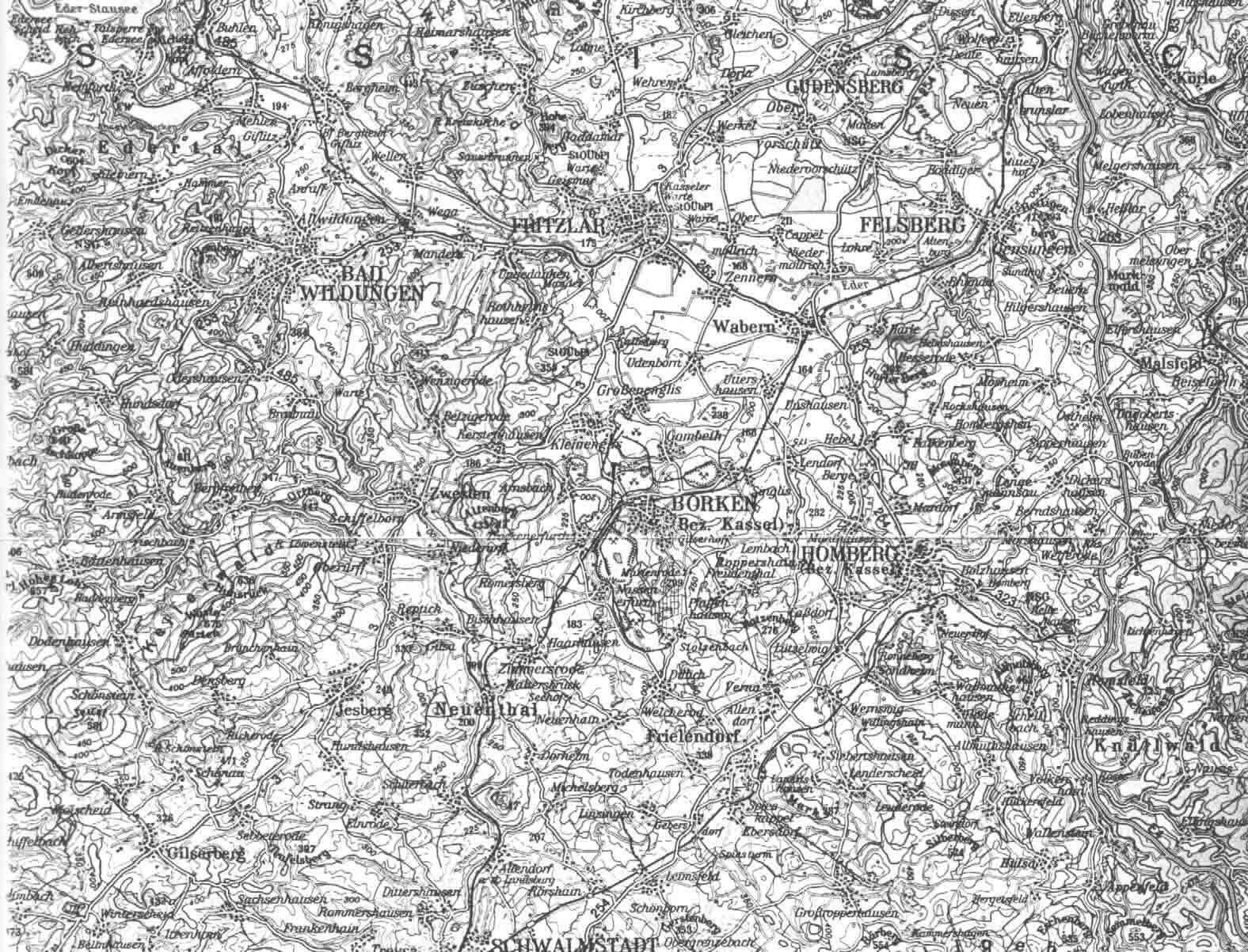
A topographical map of part of Nordhessen
(the north of Hesse); Harle is a little to the East of Wabern, South-East of
Fritzlar.
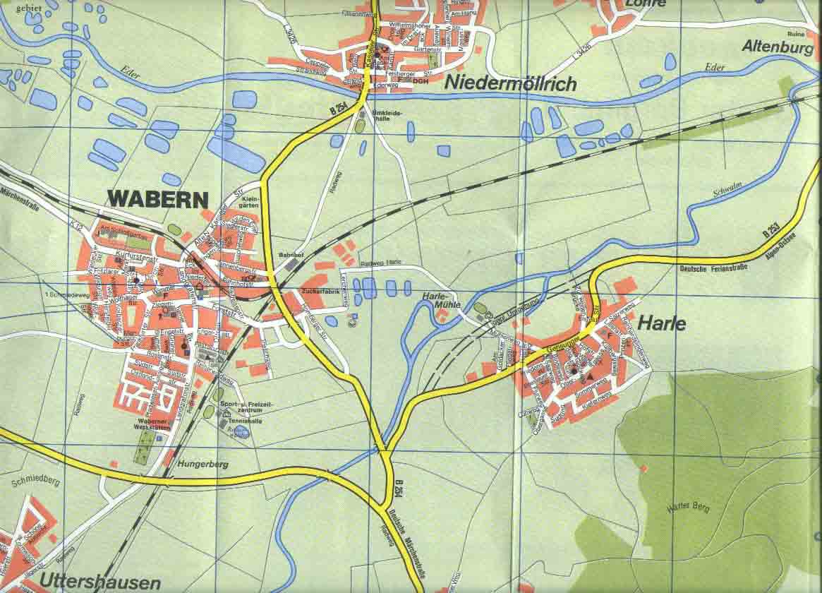
A very detailed local map of Wabern and
the surrounding villages, including Harle. (The Dilcher house and farm are
located on Obergasse, indicated by a cross).
General information on the
Schwalm-Eder-Kreis, with links to Wabern; lots of information, and a map.
(In German only).
Photos from the mid- to late 80's, taken by Anna deVries
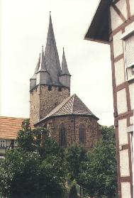
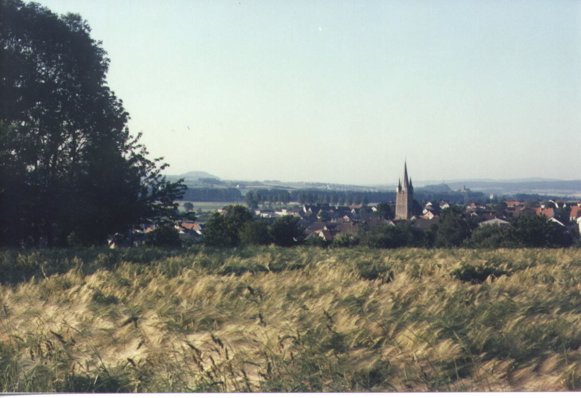
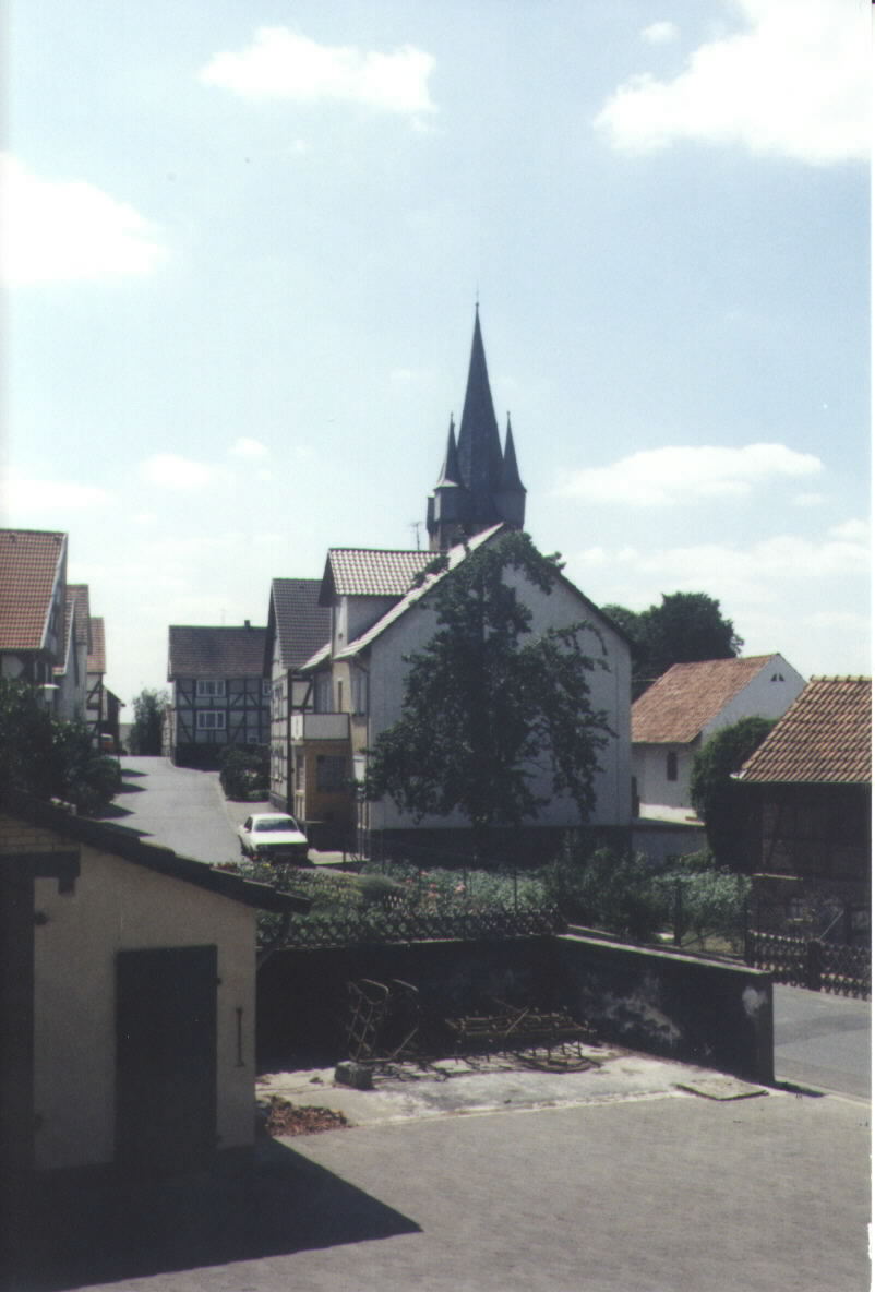
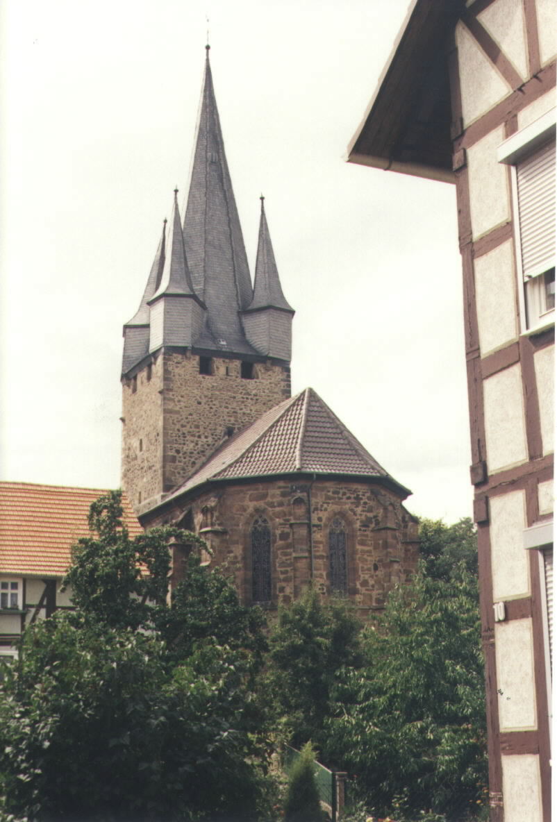
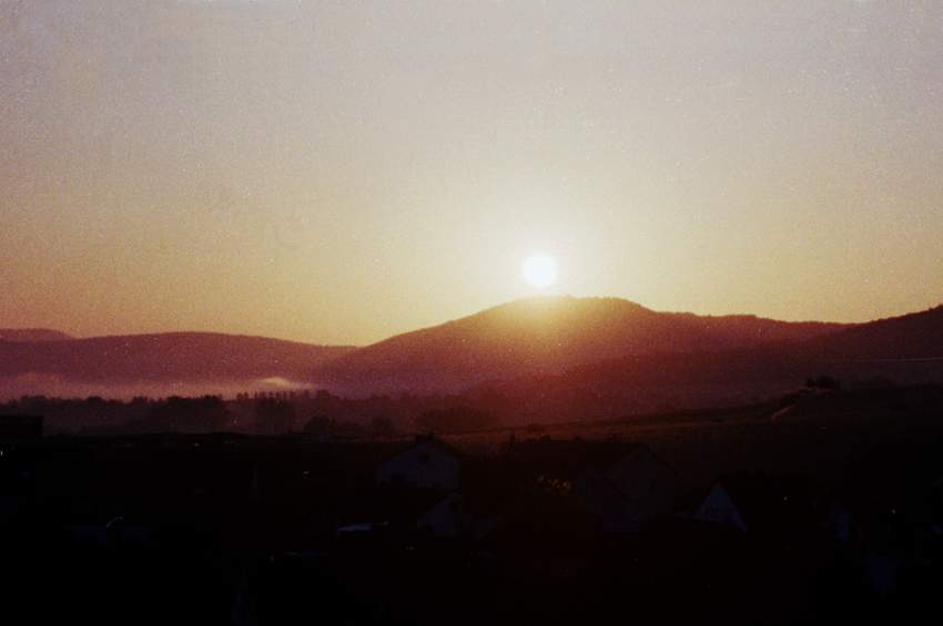
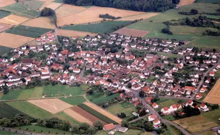
Harle, looking north. In the background, to the
right of the church, two ancient castles, the Felsburg and the Altenburg.
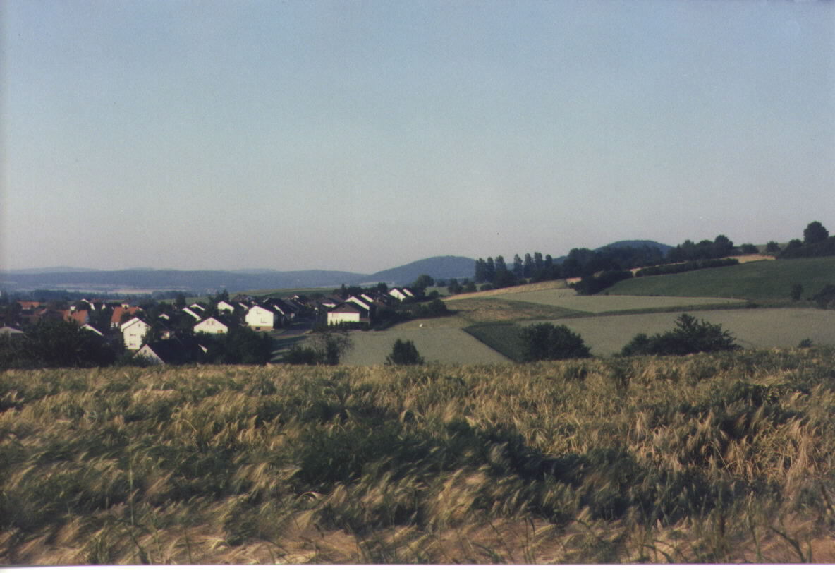
Harle grew in size (but not in population)
from the late 1960s, as the village, along with most of rural Germany, became
more prosperous. Looking north-east. The hill just behind the right-most
houses hides the third one of a triangle of castles, the Heiligenberg;
only some ruins remain.
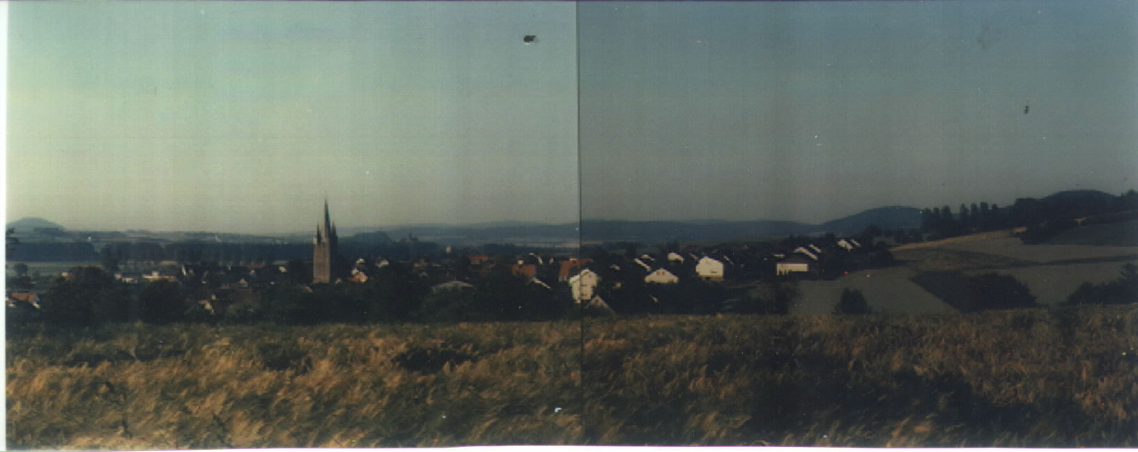
Here the two previous pictures are put together as a
panorama.
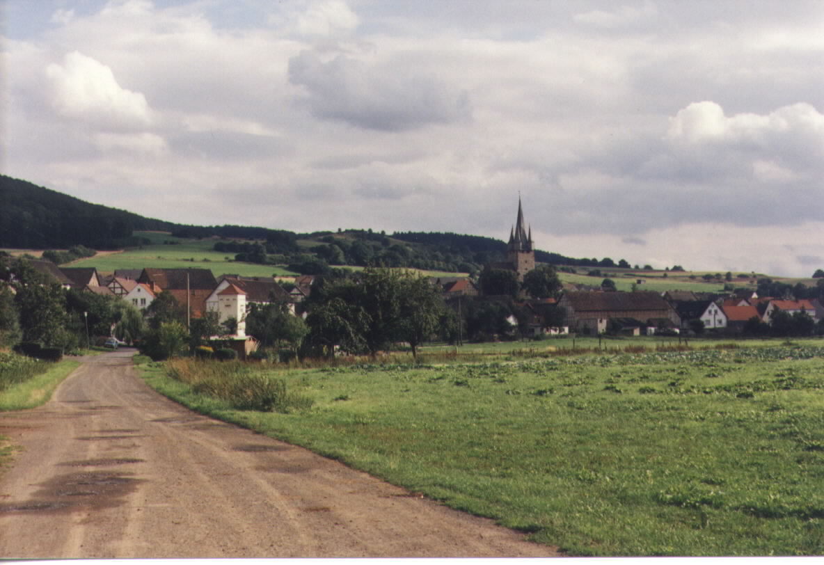
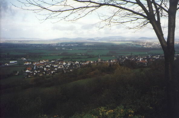
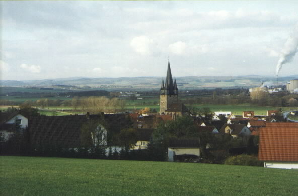
Harle, looking west. In the background
Wabern with its sugar refinery. Lots of sugar beets are grown around Harle
in the fertile soil of the area.
Old photographs, taken from two calendars that were published for the
years 1984 and 1986 by a then very active "film club", a group of young
people from Harle.
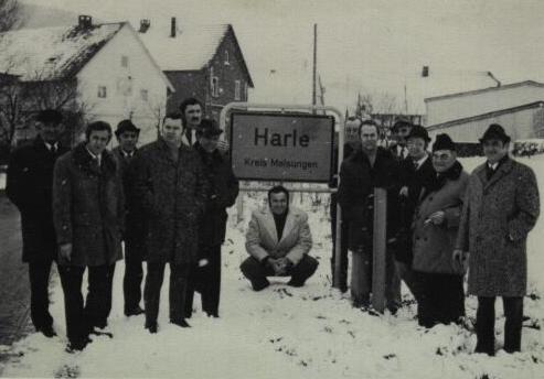
First, some modern history. The end of an era:
The Gemeindevorstand (local council) meets for the last time and stands around
the old sign at the entrance of the village. (Helmut Dilcher is fourth from the
right). On New Year's Eve of 1973, Harle ceased to exist as a separate
political entity and became part of the municipality of Wabern. But Harle
retained (and even strengthened) its cultural and historical identity.
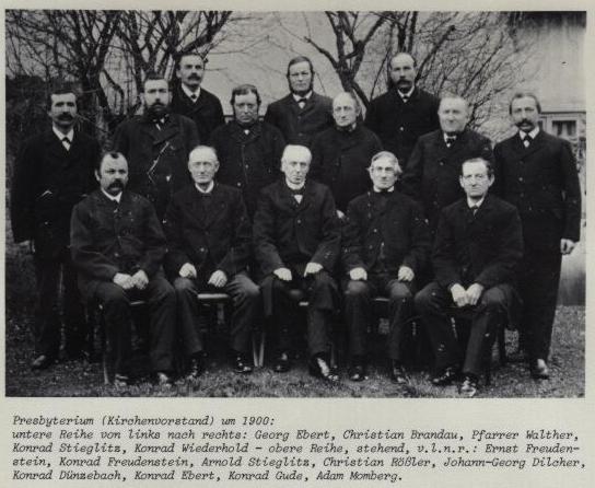
The presbyterium, or church elders
of Harle, around 1900. Johann Georg Dilcher (1850-1918), my great-grandfather,
and nephew of Henry's, is right in the centre of the back row.
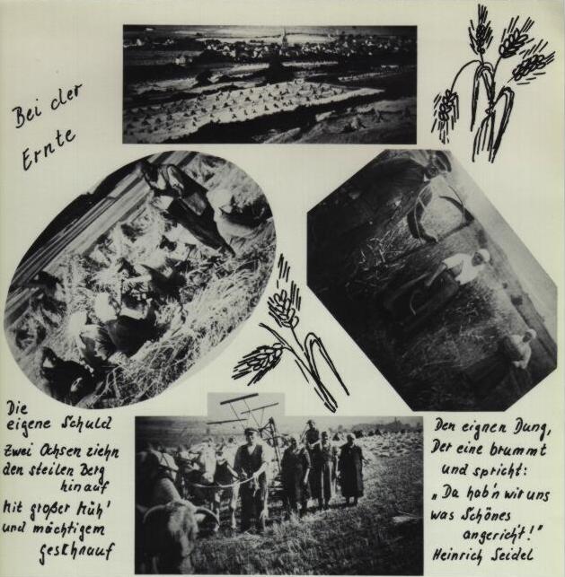
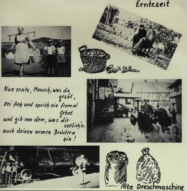
Harvest time in Harle. The village used to be
predominantly agricultural, but now there are only very few working farms
left. The soil is of rather high quality, with good yields and stable
harvests. The Dilcher farm was scaled down in 1977 and ceased to operate as
a farm in 1985. Land and buildings are still in family possession.
Continuation of previous page. The two bottom
pictures show threshing machines which were being used until the mid-60's
when combines took over. I still remember these huge machines quite well.
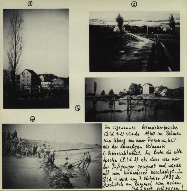
Harle used to be quite self-sufficient. An important part of this was
the large mill by the Schwalm river, here seen in
pictures (1) and (3). It is now a small-scale producer of electricity, and
a farm. Pictures (2) and (4) show a (then) new bridge and a flood-control
and river diversion project which were being done in 1939 and 1940 by
para-military work units.
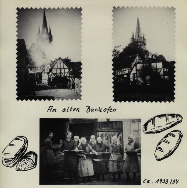
I still remember this communal bake house
("der alte Backofen") which became obsolete when every household had an
electric oven. It was torn down around 1960.
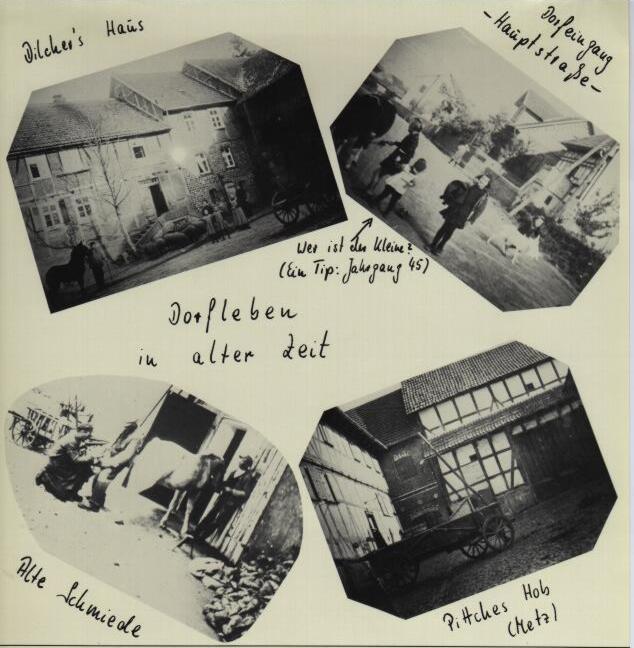
Village life in the old days.
The Dilcher house (upper left) still looks very much the same today, apart
from a modern (but non-descript) siding. I assume that the picture shows
Johann Georg's four daughters Elisabeth, Katharina, Maria and Sophie
(the youngest, born in 1900), with his wife Maria (née Metz) in the
background. The man with the horse could be Johann Georg himself, or a Knecht
(hired hand). All four daughters remained unmarried, three of them lived on
the farm their whole lives, and were very much part of my childhood.
My great-grandmother Maria was born a few houses down the road on the Metz
farm (lower right picture). A number of Metz children also emigrated to the
US; some became rather successful.
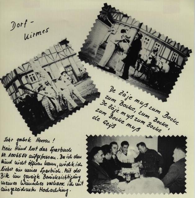
The Kirmes was and still is an important
festival in the Fall, with a weekend of music, dancing, a lot of drinking,
and childrens' activities.
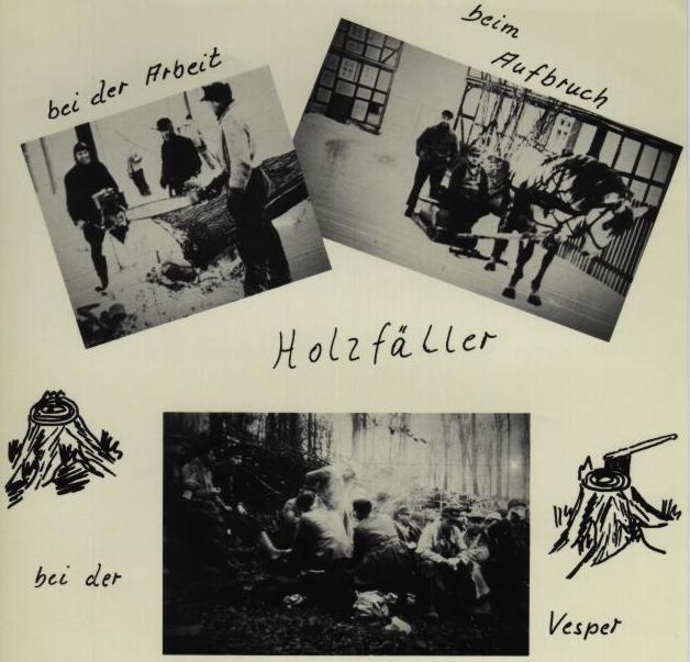
In the winter, when there was less farm work to do,
the men of Harle would go into the (communally owned) woods and cut firewood.
That was often more than a week-long operation; I also took part once or twice
as a teenager. This ended some time in the late 70s, after there were too
many accidents. The forest around Harle is still largely communally owned,
but the wood is cut professionally.
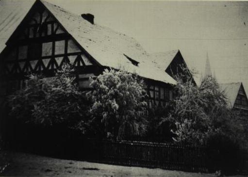
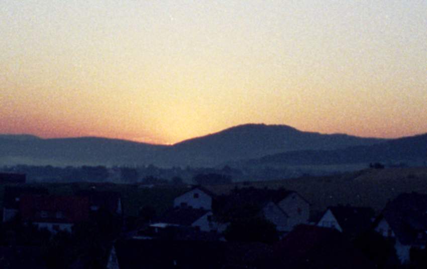
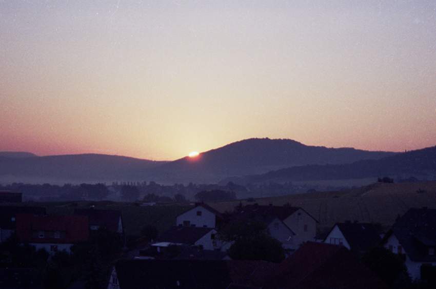
Still on the topic of Winter, this is (or was)
a typical view on a snowy day.
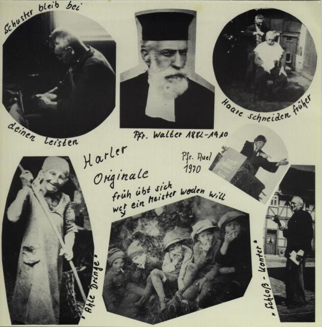
Harle was, and still is, a tightly knit community, enriched by
some individuals who were better known than
others. The Pfarrer (protestant minister) always had a leading position in
the village. And although most men smoked, children weren't really supposed to.
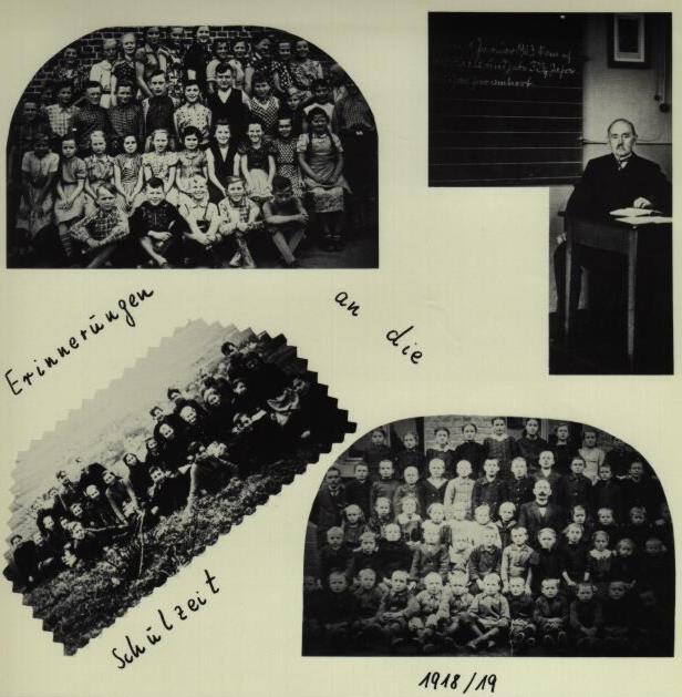
A central role was also played by the
village school which existed until
1970. Now the school building is a community center.
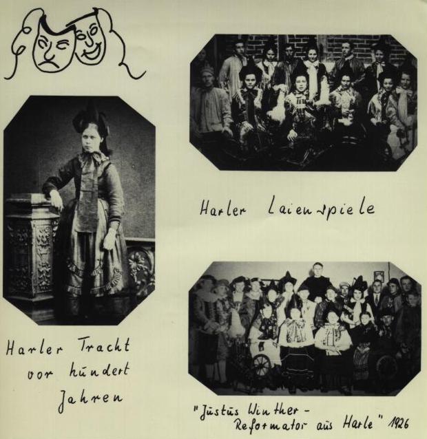
Amateur theater has always been part of
village life. Some old ceremonial costumes can also be seen.
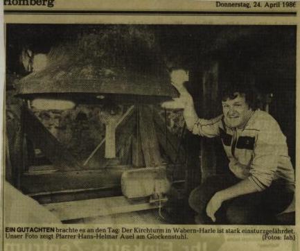
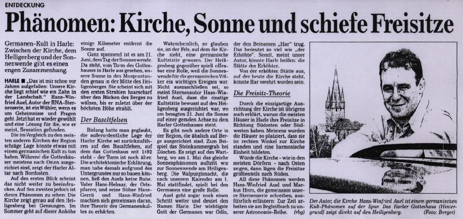
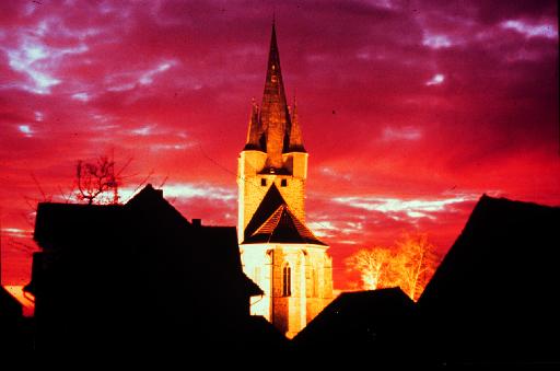
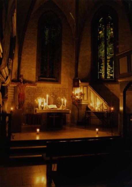
The Harler Glocke (bell) and Pfarrer Auel, who is
still the protestant minister in Harle. This is from a newspaper article
about structural weaknesses in the bell tower. This has since been repaired.
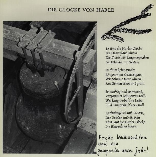
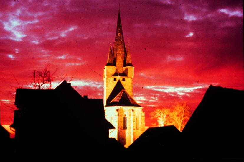
And finally, another image of the famous Glocke,
along with a poem and Christmas and New Year's greetings
Website created by Karl Dilcher
(Halifax, Nova Scotia, Canada), with the
support of the late Henry S. Dilcher (Atlanta, Georgia, U.S.A.)
Last update: August 6, 2001.
